
& LIDAR Services
AERIAL SURVEYS INTERNATIONAL, LLC specializes in the acquisition of LiDAR Imaging and Digital Aerial Imagery.
Our staff enjoys a professional reputation for getting the job done right in a precise and timely manner.
Our team consists of full-time pilots, sensor operators, licensed aircraft mechanics, project managers, and data processing experts.
Aerial Surveys International, LLC (ASI) operates on the “team concept” of project management, assuring that YOUR PROJECT will be completed as expected, on time, and on budget. We are a service oriented company that strives to fulfill your needs, with your satisfaction guaranteed!
INDUSTRIES WE SERVE
- Government
- Oil & Gas
- Transportation
- Agriculture
- Forestry
- Land/Resource Management
- Energy (Utility)
- Mining & Aggregate

OUR HISTORY
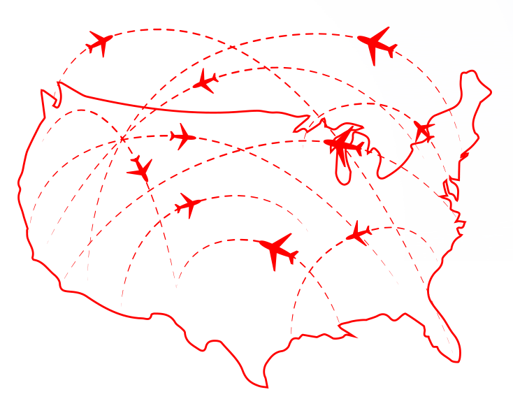
We often team with professional mapping organizations in fulfilling their aerial photography needs. Our customer base is located throughout the United States and their projects have taken us to almost every state in the Union. We are known for the accuracy and quality of our aerial products, the dependability of our service, and our professional staff.
Our commitment to you is to provide superior quality and accurate imagery, in a timely and competitive manner.

Aerial Surveys International, LLC was formed in 1998. Our team has over 130 years of combined aerial surveying experience. Our goal is to provide you with aerial imagery and aerial LiDAR of the highest quality. To do this, we have put together a staff of very well-respected Sales Associates, Project Managers, Pilots, Sensor Operators and Licensed Mechanics.

