Cameras/Sensors
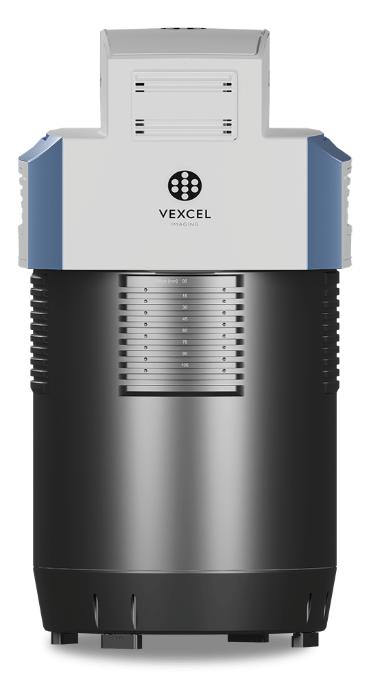
Vexcel UltraCam Osprey 4.1 Camera: Setting new standards in 3D mapping
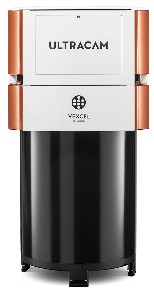
Vexcel UltraCam Eagle MK1 Camera
The UltraCam sensor supports aerial photogrammetric missions for the broadest range of GIS and remote sensing applications. The complete data acquisition system delivers small-scale or large-scale images with high-quality resolution at engineering-scale accuracy, capable of supplying images with ground resolutions of less than 2.5cm. Designed with break-through technologies, the modular system consists of state-of-the-art components, centered on frame sensor technology, to advance all aspects of the digital workflow.
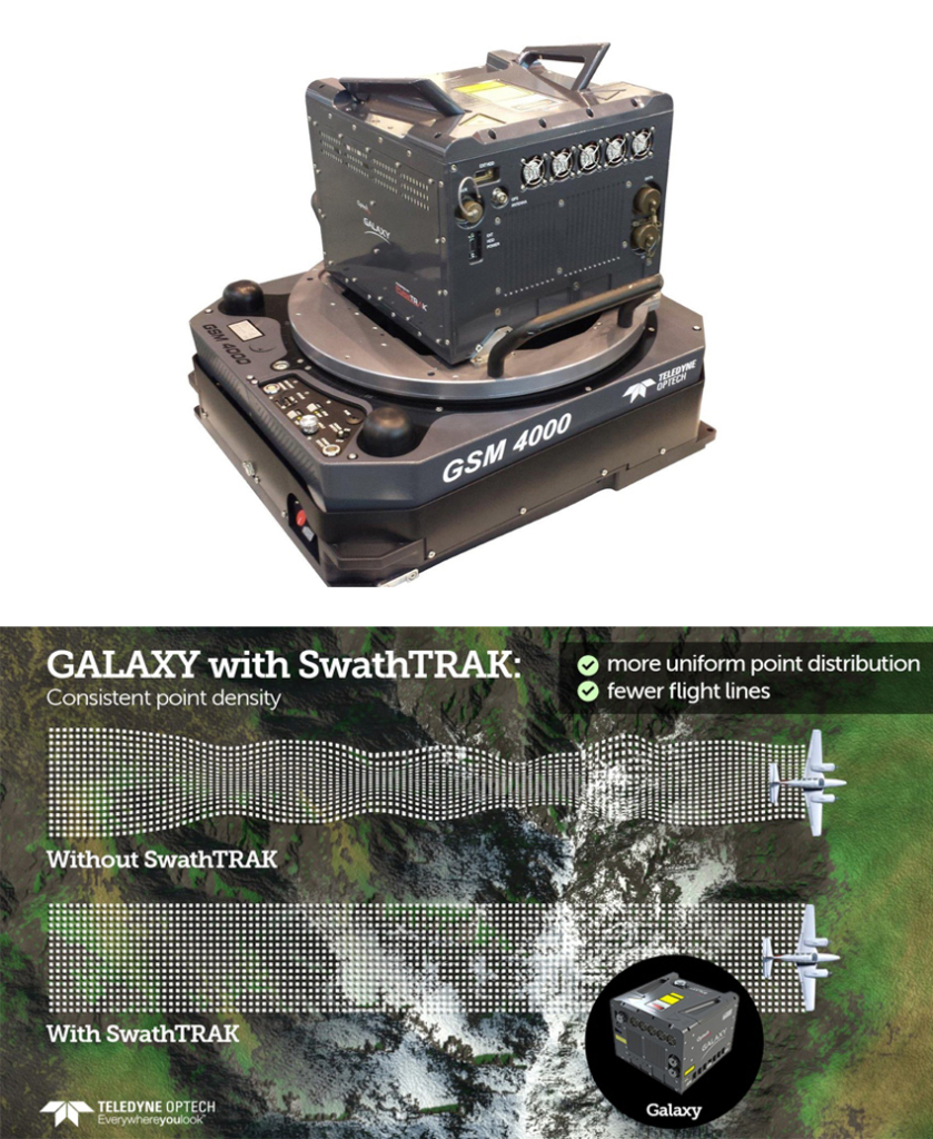
Optech T2000 LiDAR Sensor
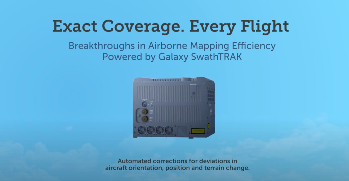
The T2000 provides the latest technology for airborne LiDAR solutions, providing more power and accuracy into a small footprint than any other sensor. Designed for everything from wide-area mapping to corridor surveys, the T2000 is a universal sensor that rivals larger systems with its ultra-dense data and industry-leading measurement precision and accuracy. PulseTRAK technology replaces conventional multi-pulse technologies for high PRFs at high altitude. SwathTRAK technology moves collection efficiency to a whole new level by dynamically modifying the scan field of view during collection to maintain fixed swath widths and even point distribution, even in variable terrain. Supporting components include a Trimble 5700 receiver for Airborne GPS and an Applanix 510 POS/AV system with a Litton IMU 8.
Optech G2 Sensor
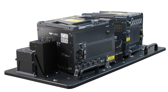
Teledyne Optech’s new G2 sensor system for the ALTM Galaxy is the perfect solution for doubling efficiency and productivity on those really large survey projects. Designed specifically for the USGS 3DEP LiDAR program collections, the G2 sensor system enables efficiency and resolutions comparable to FLASH lidar while maintaining independent range measurement and superior data fidelity. Leveraging the compact form factor of the award winning ALTM Galaxy, the G2 sensor system combines two Galaxy sensor heads and a 150MP camera over a standard 19″ aircraft sensor portal.
Z/I DMC Digital Cameras
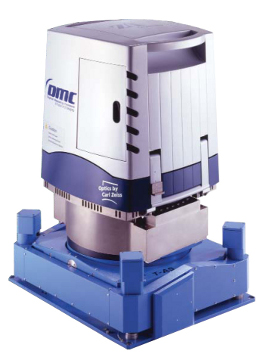
The DMC sensors support aerial photogrammetric missions for the broadest range of GIS and remote sensing applications. The complete data acquisition system delivers small-scale or large-scale images with high-quality resolution at engineering-scale accuracy – capable of supplying images with ground resolutions of less than two inches. Designed with break-through technologies, the modular system consists of state-of-the-art components, centered on frame sensor technology, to advance all aspects of the digital workflow.
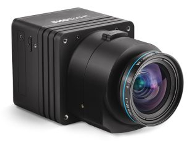
Phase One iXU-R Camera
The Phase One iXU-R is a small-bodied medium format camera with high performance Rodenstock optics. The CCD array has a footprint size of 10,328 X 7,760 pixels and weighs only 3.7 lbs. including the lens. The small form factor makes it an ideal camera for use as a standalone camera for photogrammetric work or as part of an array of multiple cameras, either to cover a larger swath or as part of an oblique camera system. The iXU-R camera is built with one of three Rodenstock lenses — 40 mm, 50 mm and 70 mm. The interchangeable lenses are individually inspected and factory calibrated for infinity focus. Because it is a metric camera, the user can expect sub pixel accuracies when mated with a GPS/IMU system. The Phase One camera can be co-mounted with any of our LiDAR sensors for simultaneous acquisition of LiDAR data and digital imagery.
